Your Ultimate Land Surveyor Company in California
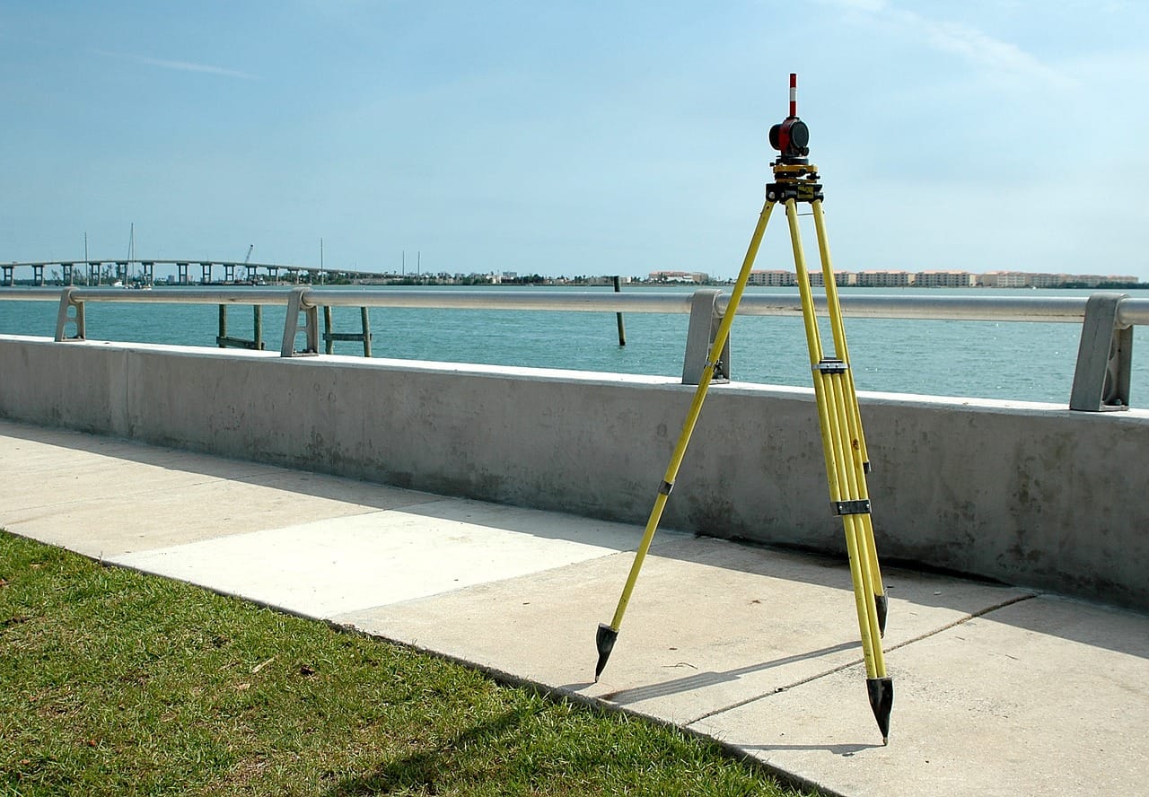
You might have at one instance driven down the road and came across several guys standing several meters apart, each with a yellow tripod doing what might seemingly appear like staring at each other? Occasionally, you might catch one looking through a camera-like contraption if you looked closely keenly and wondered what they were doing.
This seemingly odd act is actually called surveying. Basically, what they’re doing is taking 3-dimensional measurements of that specific piece of land to come up with calculated distances between various points or determine the elevation. However, it’s worth noting that surveying is not restricted to these two applications. There are many other uses ranging from determining land boundaries all the way to creating maps. This means that the services of a qualified surveyor are needed to ensure only accurate measurements and computations are recorded.
Below are some of the techniques applied by land surveyors in their surveying excursions depending on the requirements and nature of the land:
Aerial Surveying
This method is also referred to as photogrammetric mapping. It involves capturing very high-resolution photos from an aerial point of view in order to determine the makeup, contours and other conditions that constitute a specific area of land.
If you’ve come across a map drawn in such a way that it almost looks 3-dimensional, that is the product of photogrammetric mapping or aerial surveying if you will. A conventional map would just be a simple 2D image or representation of the land, but surveying enables shading to project a sense of depth or height.

3D Laser Scanning
This second technique employs is another high definition surveying which may seem more or less similar to aerial surveying to an inexperienced person while in reality, it’s very different. Instead of making use of photographs taken from an aerial point, the surveyors scan the ground point by point and then use their high-tech gadgets to create a precise digital representation of the land. This method ensures all contours are accurately represented. The scanning can be done either on the ground or from the air.
This 3D representation can then be used to carry out spatial analysis for a proposed project without necessarily having to return to the site again. As such, planning becomes easier and efficient since everything is stored on a computer.
Electronic Measuring
This technique makes use of light beams that travel between two theodolites (the mounted “cameras”) to accurately calculate the distances between the two points. Electronic Measuring also computes the angles between the two points. This technique enables the surveyors to measure across terrains that would otherwise be difficult or impossible to measure like swamps, valleys, and marshes.
Whether you want to delineate boundaries between properties, preparing your land for construction, or you just need a 3D-rendered image in order to make your study of a specific area easy and affordable, Ray Carlson and Associate is your go-to land survey experts in California.…

